Digitalization and Water
The Ministry manages extensive data describing the water cycle and the water quality of surface waters and groundwater. Networking, processing, and providing this data, as well as integrating it into water management planning, is a core aspect of digitalization in the water sector. Expanding digital administration is also an important element.
The main areas of focus for the Water Section within the Ministry of Water include the collection of data on the water cycle and the quality of surface and groundwater, planning for water management and flood protection, handling of funding programs, and the use of water along with the necessary permits. In all these areas, digitalization plays a key role. This involves not only the digital processing of information but, importantly, also its networking, processing, and provision.
Objectives
Key objectives of digitalization in water management at the Ministry of Water include expanding digital administration and increasing transparency by providing interconnected information to citizens and businesses, while ensuring data protection and full control over personal data.
What We Are Working On
With a view to the goals of digitalization in the water sector, the Ministry of Water is addressing various key topics:
- Water Information System Austria (WISA):
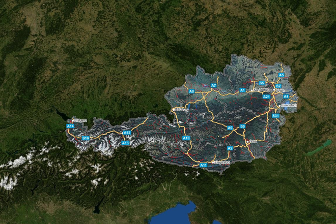
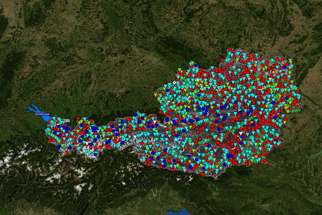
WISA is the central platform providing access to data and information on water management. Through the WISA specialized databases, information is made available on the water cycle (electronic hydrographic yearbook), the quality of surface and groundwater (H2O database), and interactive WebGIS maps for the river basin management plans as well as flood hazard and risk maps. In addition to providing data, efforts focus on strengthening the data network with the water information systems of the federal states and developing standardized interfaces for data exchange. - HORA:
HORA (Natural Hazard Overview and Risk Assessment Austria) is a WebGIS application visualizing various natural hazards. It was created in cooperation between the Ministry of Water and the Austrian Insurance Association (VVO). - Hydrology (eHyd):
The Austrian Hydrographic Service operates a basic measurement network to record precipitation, determine flow and water levels in rivers and lakes, and monitor groundwater levels. This information is provided via the eHyd WebGIS application. eHYD Mobil provides an overview of current water balance indicators in Austria as a WebApp for smartphones and tablets. - Funding:
Applications for funding municipal projects in drinking water supply and wastewater disposal can be submitted and finalized online. - Digital Water Rights Notifications:
As the water rights authority, the Ministry is responsible for certain hydropower, flood protection, and water supply facilities. An electronic form allows companies to communicate electronically with the Ministry in its capacity as the water rights authority. - Research Projects:
Research projects explore the application of big data analytics and artificial intelligence (AI). For example, irrigated areas are identified using satellite data, which, combined with land use data, allows quantification of water withdrawals for irrigation or sprinkling. Another project is developing a modular AI-supported, nationwide flood risk monitoring system using static and dynamic datasets and sensors. These projects investigate how emerging technologies can be applied to current water management challenges. - Federal Office for Water Management (BAW):
The BAW aims to generate new knowledge in soil hydrology, hydraulic engineering, water ecology, and fisheries for the benefit of the public and to make this knowledge accessible. These activities are conducted in accordance with scientific standards and integrate the latest technologies. This includes using and developing new environmental sensors, employing technologies to improve data collection (for example: remote sensing, image recognition methods such as close-range photogrammetry, UAV, or satellite data), and optimizing data transmission methods (online connectivity of various measurement facilities).